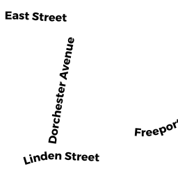
12591261 DORCHESTER AV
Owner Information
KNK LLC
111 PIERCE AVE
DORCHESTER, MA 02122


Property Details
12591261 DORCHESTER AV is classified as a Mixed Use (Primarily Commercial, some Residential) (Rc: one res unit).
The primary structure on this property was built in 1920. There are 6,904ft2 of built area within this property. There is 5,308ft2 of residential/living space within this property.
12591261 DORCHESTER AV is valued at $821,200. The land is valued at $257,400 and the structures are valued at $538,500. There is an additional valuation of $25,300 on this property.
The most recent deed for 12591261 DORCHESTER AV is recorded at the local registrar in Book 60794, Page 091. 12591261 DORCHESTER AV was last sold on Thursday, February 28, 2019 for $9.
Assessment data from fiscal year 2020.
Flood Data
According to the FEMA National Flood Hazard Layer, this property does not appear to be in a flood zone. It may also be in an area not yet reviewed. Nonetheless, confirm this information prior to taking any action.
To view the flood hazards around this property, create a FEMA "Firmette" Map of the area around 12591261 DORCHESTER AV.
Broadband Internet Providers
| Provider | Type | Bandwidth (mbps) | |
|---|---|---|---|
| Crown Castle Fiber | Fiber | 0 | 0 |
| VSAT Systems, LLC. | Satellite | 2 | 1 |
| HughesNet | Satellite | 25 | 3 |
| GCI Communication Corp. | Satellite | 0 | 0 |
| Comcast | Cable | 1000 | 35 |
| Verizon New England Inc. | Fiber | 940 | 880 |
| Viasat Inc | Satellite | 100 | 3 |
| Verizon New England Inc. | DSL | 15 | 1 |
Broadband service provider data from December 2020.